Course info

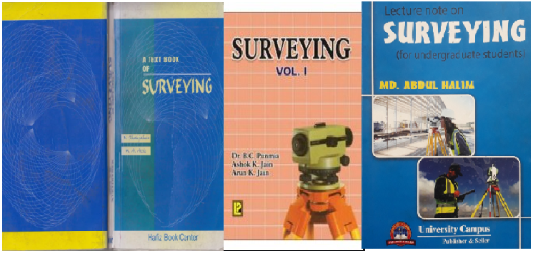
This course is intended for hydrologists, civil engineers, hydraulic engineers, highway engineers and environmental engineers. After completing this course they will have basic knowledge about the methods of surveying in advanced level. They will have basic knowledge about photo-theodolite and its different components, aerial and ground surveying, project surveying, camera work, field work terrestrial photogrammetry, hydrographic surveying, errors in surveying, remote sensing, GPS and GIS.